Berrys Lane and bridleway from Heronden to Venson, Eastry, Kent

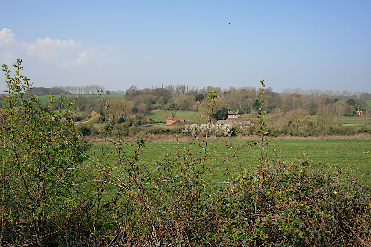
Course of Berrys Lane from Thornton Lane towards Heronden
This application on behalf of the British Horse Society was made to Kent County Council under section 53(5) of the Wildlife and Countryside Act 1981 on 16 July 2016 to modify the definitive map and statement for the county of Kent by recording a public bridleway between Heronden Road and Venson Bottom, near Eastry, Kent. The part between Heronden and Thornton Lane is known as Berrys Lane.
Application document analysis (31MB); reduced file size (2MB), v.1.3.
Status: application made on 16 July 2016, acknowledged by Kent County Council on 25 July 2016 and recorded in its register of applications under reference PROW/DO/C380.
Determined to grant application on 29 June 2020; orders made to record as bridleways EE490 and EE491 on 20 July 2020, advertised on 11 September 2020, closed to objection on 26 October 2020.
Order to record bridleway between Thornton Lane and Venson Bottom confirmed on 12 November 2020. Recorded in the definitive map and statement as bridleway EE491.
Order to record Berrys Lane between Heronden and Thornton Lane submitted to Secretary of State for determination: statement of case (23MB), reduced file size (2.5MB) v.2.0. Further comments in response to the objector's statement of case. See also Kent County Council order and statement of case. Order confirmed by Secretary of State in a decision dated 2 February 2022. Recorded in the definitive map and statement as bridleway EE490.