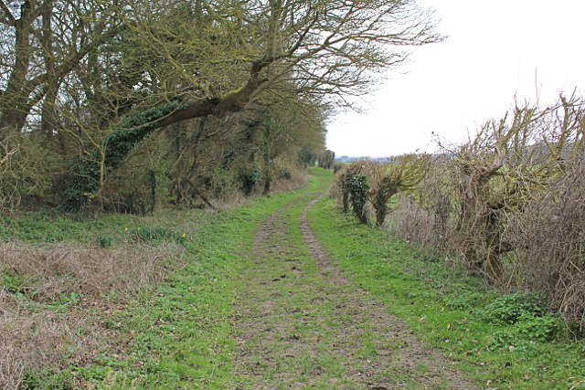
Green Lane Road, Goodnestone Park, restricted byway: from Cave Lane via Goodnestone Gap and Uffington Gate to Goodnestone Park Upper Corner/Stone Cross
Bridleway EE269 north of Uffington Gate
This application on behalf of the British Horse Society was made to Kent County Council under section 53(5) of the Wildlife and Countryside Act 1981 on 1 December 2018 to record a restricted byway, formerly known as Green Lane Road, in the parishes of Wingham and Goodnestone, from the junction of Cave Lane, Goodnestone Hill and Goodnestone Road, along the northwest perimeter of Goodnestone Park, via Goodnestone Gap and Uffington Gate, to Goodnestone Park Upper Corner or Stone Cross. The way is currently recorded as public bridleway EE269.
Download the application document analysis (13MB); reduced file size (2MB), v.1.0.
Status: application was made on 1 December 2018, acknowledged by Kent County Council on 3 December 2018, and recorded in its register of applications as claim 409. Order made by Kent County Council on 19 May 2023.
Order confirmed by Kent County Council on 26 July 2023. Application way recorded on definitive map and statement as restricted byway EE269.